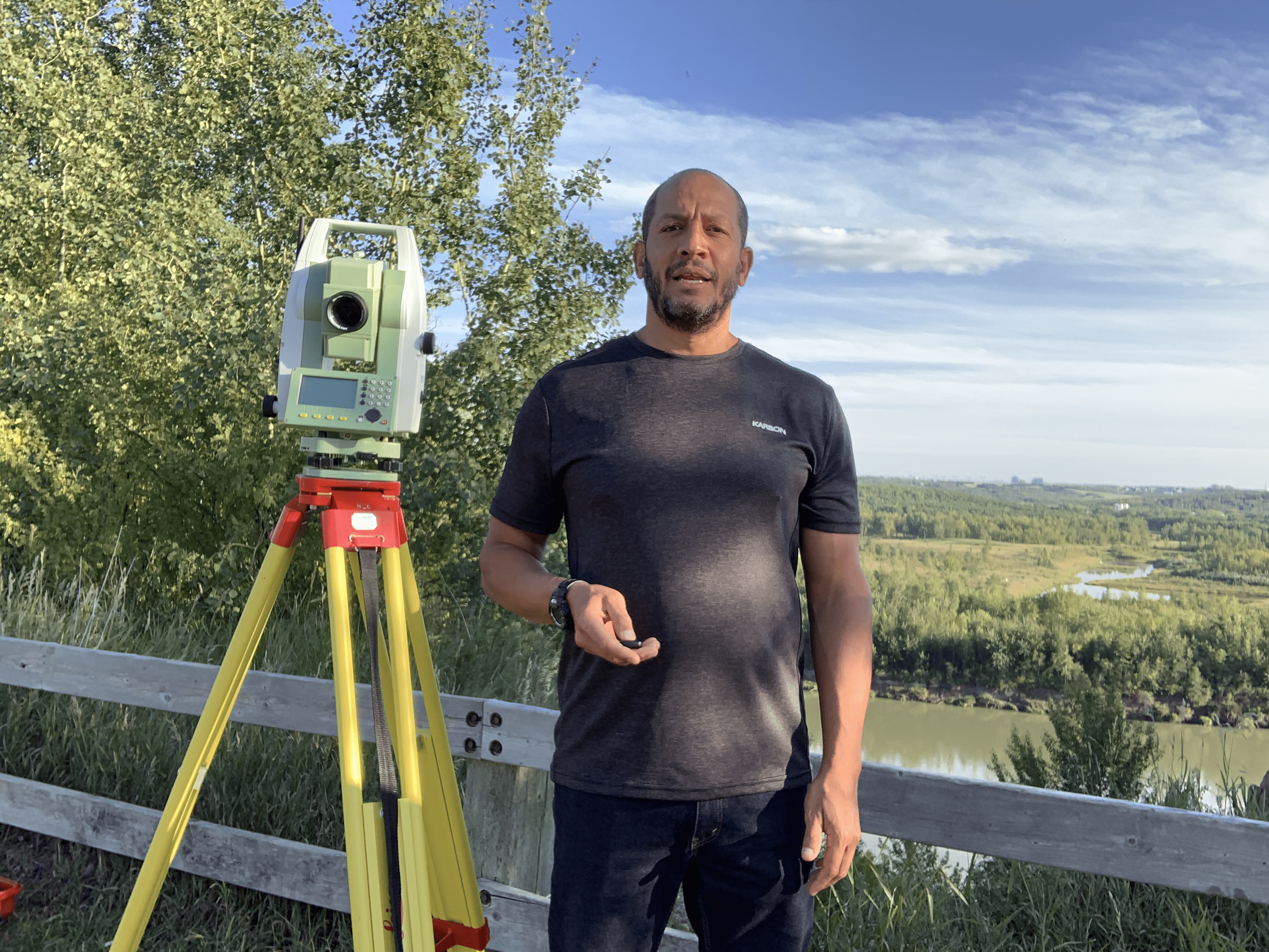
Introduction to Geographic Information Systems (GIS 101)

COURSE DESCRIPTION
This course introduces the learners to the histrory and fundamental knowldege of GIS that will enable them to understand how GIS is used in real-world projects. The information and knowledge gained in this short course will lay the necessary foundation for the learners to later work on modeling software that involve GIS data; for example, ArcGIS and ArcMap among others.
CERTIFICATION
Lorem Ipsum is simply dummy text of the printing and typesetting industry. Lorem Ipsum has been the industry’s standard dummy text ever since the 1500s, when an unknown printer took a galley of type and scrambled it to make a type specimen book. It has survived not only five centuries, but also the leap into electronic typesetting, remaining essentially unchanged.
LEARNING OUTCOMES
1- Learn the history and significance of GIS as a science
2- Understand the concepts and pronciples that are fundamental to GIS
3- Know the diffrence between the different types of data used in GIS
4- Understand the concept of layers and how it is used to analyze data in GIS
5- Learn how GIS afects decision making
- Over 37 lectures and 55.5 hours of content!
- LIVE PROJECT End to End Software Testing Training Included.
- Learn Software Testing and Automation basics from a professional trainer from your own desk.
- Information packed practical training starting from basics to advanced testing techniques.
- Best suitable for beginners to advanced level users and who learn faster when demonstrated.
- Course content designed by considering current software testing technology and the job market.
- Practical assignments at the end of every session.
- Practical learning experience with live project work and examples.
Course Features
- Lectures 2
- Quizzes 0
- Duration 33 hours
- Skill level Beginner
- Language English
- Students 60
- Assessments Yes
-
Chapter 1
Introduction to GIS
